UAV Survey & Orthomosaic Processing
Drone-based survey work focused on collecting imagery, generating orthophotos, and turning aerial data into usable map products for planning and analysis.
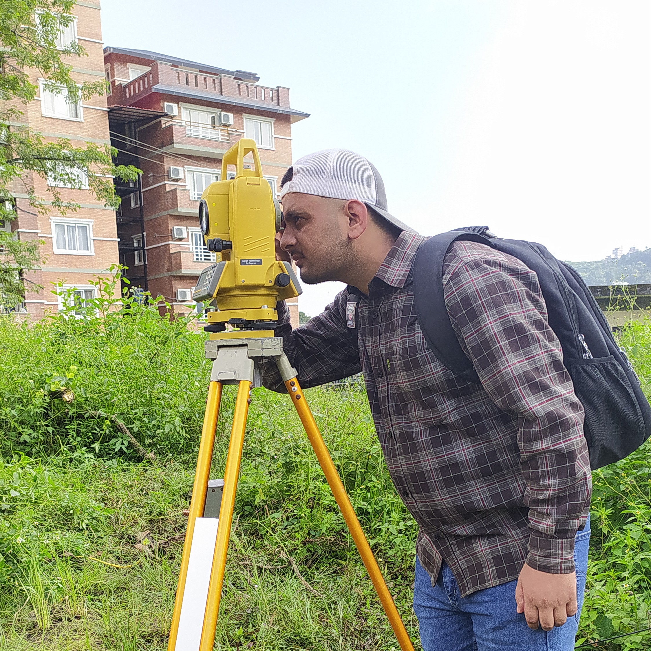
Read moreSince undergrad, this work has spanned participatory mapping, UAV orthophoto generation, DGPS and field surveying, hydropower and cadastral surveying, humanitarian open mapping, WebGIS visualization, weather prediction, and GDAL-based image analysis.
This section shows the practical GIS and mapping foundation behind the later research work: community mapping, field surveying, drone processing, weather analytics, and map communication. The range of methods — from total station surveys to LSTM-based weather prediction — reflects end-to-end geospatial problem solving where field context, data processing, validation, and visualization all connect.