Remote Sensing Hydrodata
The theme page describing the broader satellite and hydrodata workflow context.
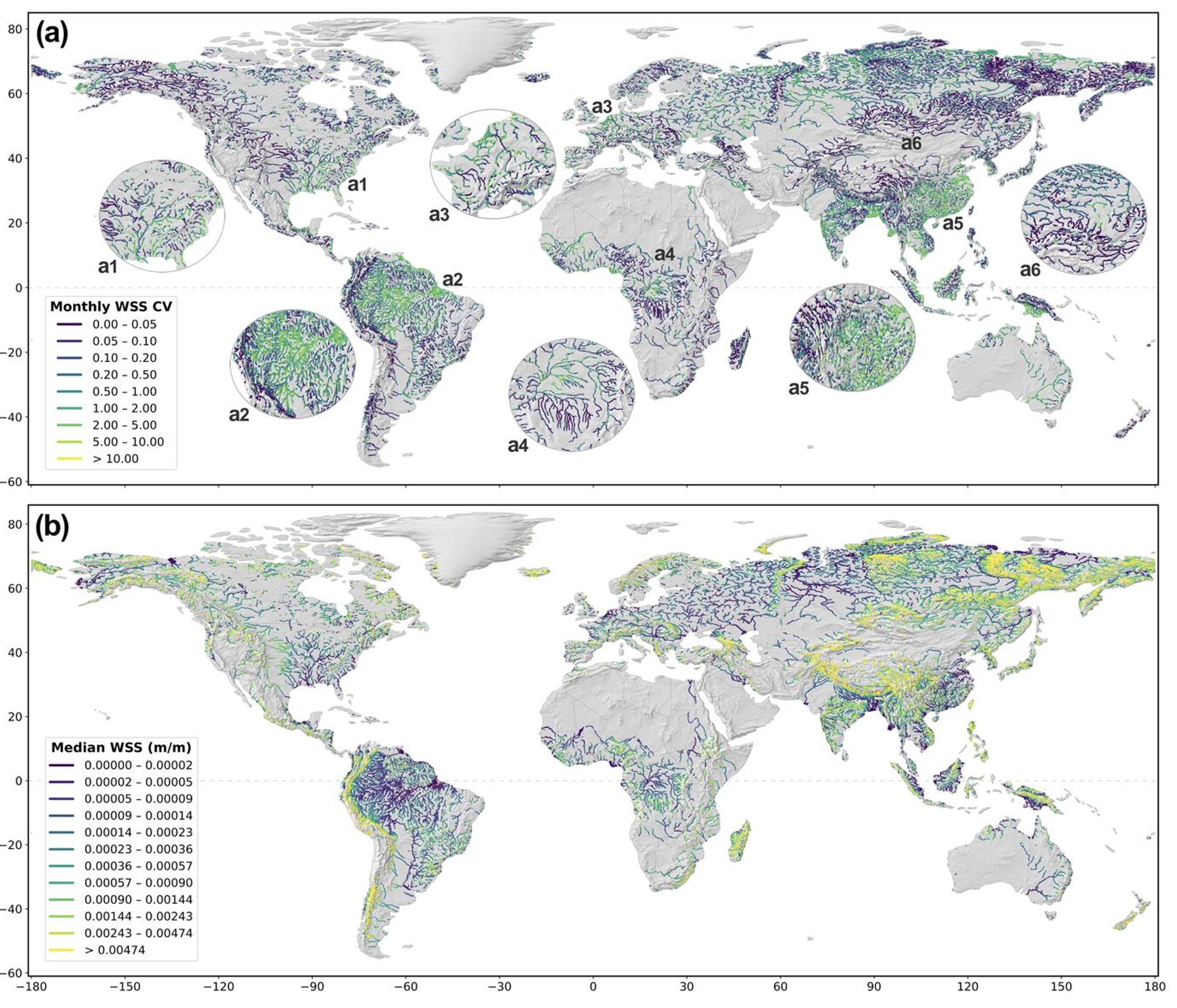
Read moreThis dataset focuses on temporal river-slope information derived from SWOT products at monthly reach-level resolution. It expands the hydrodata story beyond a single operational use case and gives the research portfolio a more complete data publication trail.
This page gives you a place to add a proper data abstract, variable definitions, temporal coverage notes, and workflow context. For now it frames the dataset professionally and makes it easier to cross-reference from the research landing page.
The data is useful for hydraulic analysis, river monitoring, and broader remote-sensing hydrodata applications where temporal variation matters.