Remote Sensing Hydrodata
The broader theme page connecting satellite products, terrain processing, and hydrodata workflows.
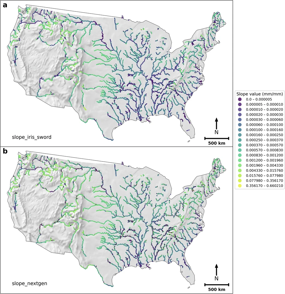
Read moreThis dataset packages slope information derived to support operational flood inundation mapping workflows. It is part of the hydrodata side of the portfolio and works well as a dedicated landing page for data users who need more context than a single repository link can provide.
This page can hold the formal data abstract, provenance notes, citation language, and brief usage guidance. For now it establishes a professional internal destination for the dataset and explains how it supports flood mapping workflows.
The dataset is especially relevant where terrain and reach-level slope information influence flood modeling quality or operational preparation.