Applied GIS
Fieldwork and survey control supporting LiDAR collections.
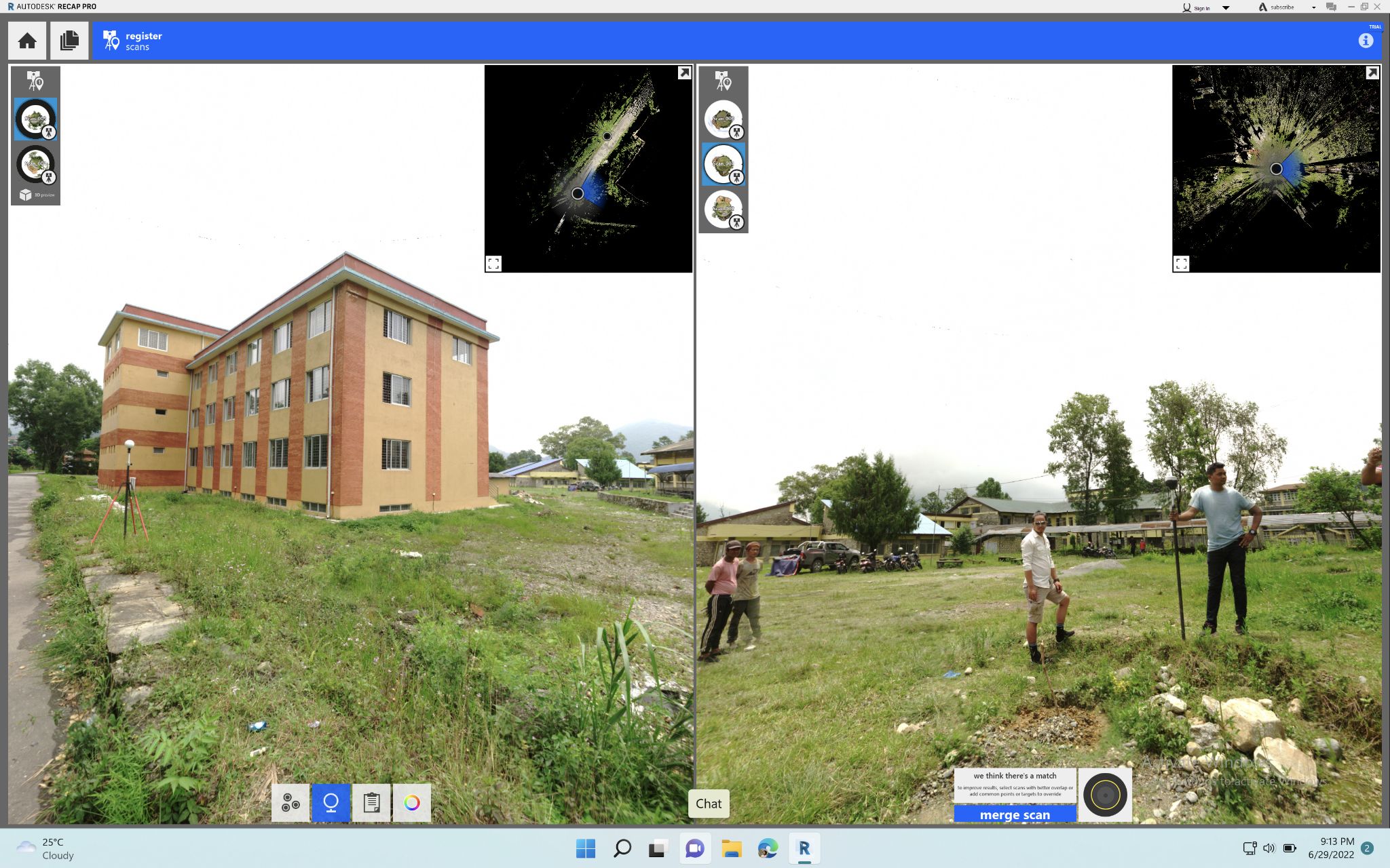
Read moreEnd-to-end LiDAR workflows from RTK control collection through 3D model generation. Work includes RTK GCP acquisition, airborne/terrestrial point cloud processing, classification in Global Mapper, and 3D model development in Revit and Autodesk.
High-quality elevation products are foundational to flood mapping, infrastructure assessment, and terrain-aware planning. Proper LiDAR processing ensures accurate derivations and trustworthy downstream models.