Applied GIS
Field survey training and mapping workflows.
Read moreField GNSS and DGPS workflows for collecting survey control points, establishing local control networks, and validating spatial datasets. Work includes RTK/DGPS collection, coordinate transformations, and QA practices for mapping projects.
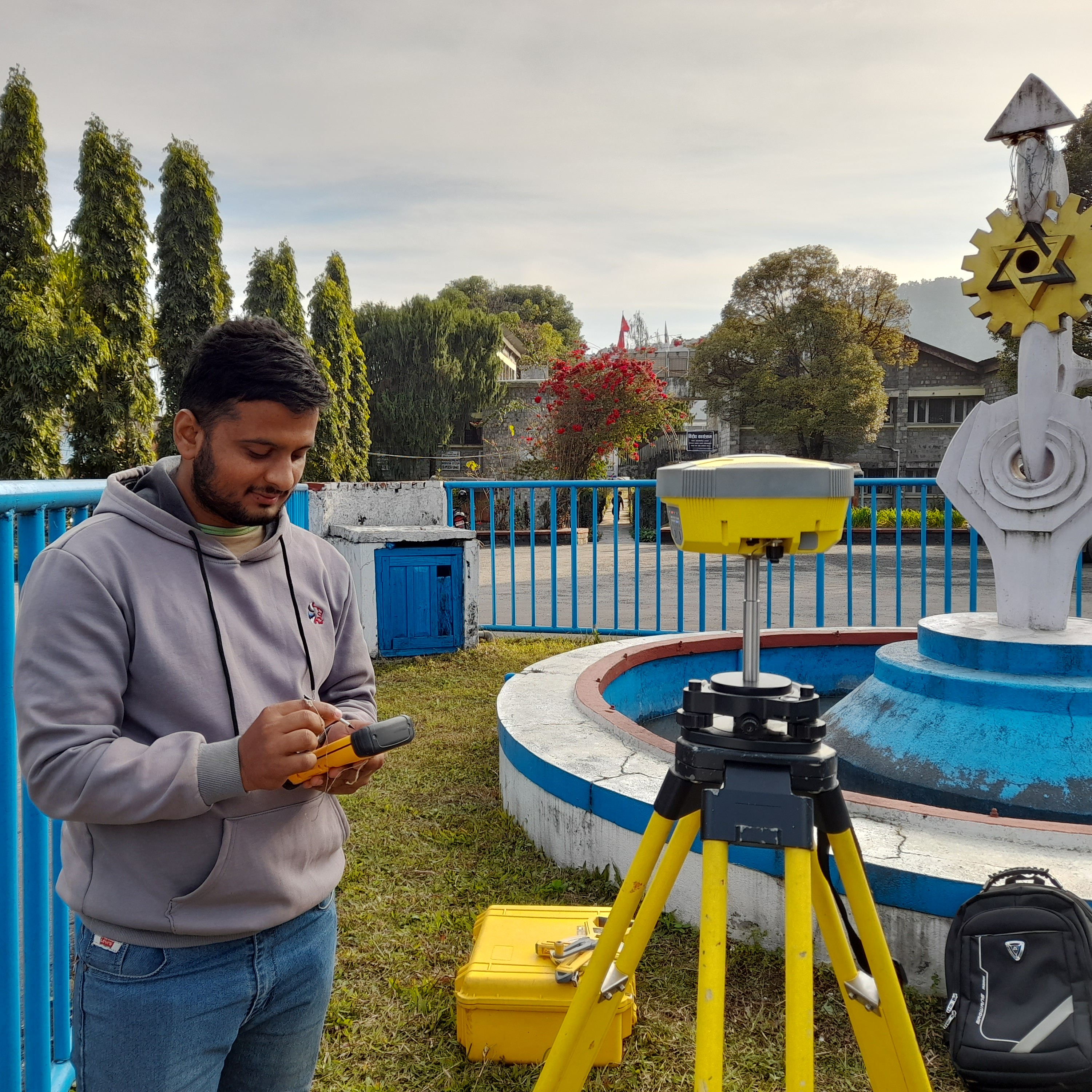
Survey-grade control underpins accurate mapping products. Robust GNSS workflows reduce uncertainty and ensure mapping outputs align with real-world locations for decision-making.