Operational FIM Software & Evaluation
The research theme covering NOAA OWP HAND-FIM, FIMserv, and operational flood inundation mapping workflows.
Read moreThis AGU conference presentation addresses representing pluvial flooding within NOAA’s Next Generation Water Modeling framework, connecting operational HAND-FIM workflows to emerging pluvial inundation modeling approaches.
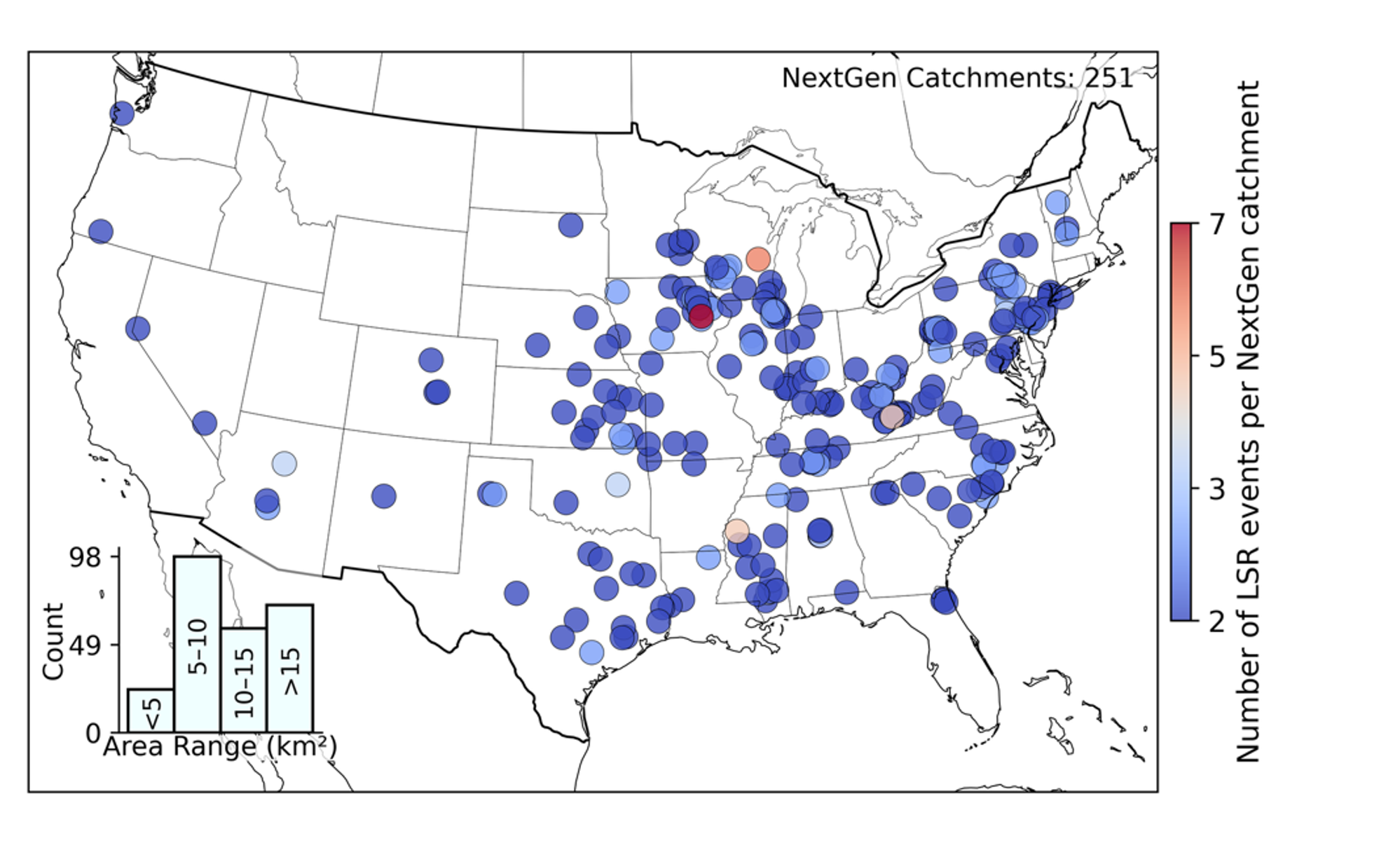
This AGU 2025 talk addresses a critical gap in operational flood forecasting: current NOAA NWM/HAND-FIM workflows are designed around fluvial (riverine) flooding but lack explicit representation of pluvial (rainfall-driven surface runoff) inundation. The presentation introduces a spatial index design and validation approach for pluvial flooding that can integrate directly into the NextGen Water Modeling Framework, extending national flood prediction capability to urban and hillslope contexts not currently captured by channel-based models.
The work draws directly on the pluvial flood indices dataset for CONUS — spatially explicit metrics that characterize where and how intensely surface runoff generates flood risk independent of stream channels. These indices are designed to complement, not replace, existing fluvial products.