It started with a simple question: How can maps save lives? I had been studying Geomatics Engineering in Nepal, learning the technical foundations of surveying, GIS, and remote sensing — but I wanted to apply these skills somewhere that truly mattered.
First Steps into Humanitarian Mapping
My introduction to humanitarian mapping came through the Humanitarian OpenStreetMap Team (HOT) — an international organization that uses open mapping to support disaster response, public health, and sustainable development. I created an OSM account and started mapping buildings, roads, and water bodies in areas affected by natural disasters.
The HOT Tasking Manager made it possible for anyone with a computer and an internet connection to contribute to crisis maps. I was hooked. Over a few months, I completed dozens of mapping tasks and began to understand the critical importance of data quality — not just contributing edits, but making sure the data was accurate, consistent, and usable for first responders on the ground.
The Application Process
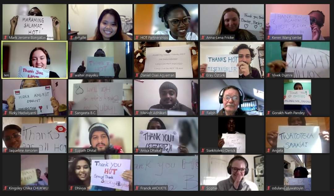
When I saw the call for the 2022 HOT Data Quality Internship, I knew I had to apply. The program accepts a small cohort of interns globally to improve the quality of OSM data that humanitarian organizations rely on for real operational decisions — routing ambulances, planning evacuations, targeting relief supplies.
"Data quality isn't just about accuracy — it's about whether a medical team can find the right road to the right village when every minute counts."
I submitted my application detailing my mapping experience, my technical skills in GIS and geospatial analysis, and my motivation to contribute to humanitarian outcomes. When the acceptance email arrived, I was genuinely stunned — selected as one of 28 interns from over 1,000 applicants worldwide.
What the Internship Involved
Over the course of the internship, I worked remotely to:
- Validate 70+ HOT projects across 12 countries, reviewing thousands of map edits for accuracy and completeness.
- Design automated validation workflows that reduced error rates by 40% in target datasets.
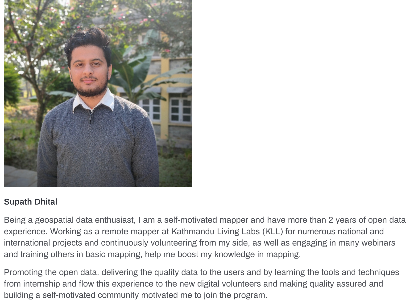
- Collaborate with mappers from across Africa, Asia, and Latin America to standardize data quality practices.
- Produce detailed quality reports that fed back into project planning for future humanitarian mapping campaigns.
What I Learned
Beyond the technical skills, this experience reshaped how I think about the social responsibility of geospatial work. Every data point on a map represents a real place — and in crisis situations, bad geodata has real consequences. This internship made me a more careful, thoughtful, and purposeful practitioner of geospatial science.
It also confirmed my belief in the power of open data. OpenStreetMap is one of the most remarkable collaborative projects in the world, and being part of it — even in a small way — feels meaningful.
If you're interested in contributing to humanitarian mapping, I encourage you to explore HOT OSM and the HOT Tasking Manager. Your contribution — even one hour of mapping — can make a real difference.