Writing
Blog
Thoughts on geospatial science, open-source development, humanitarian mapping, and research life.
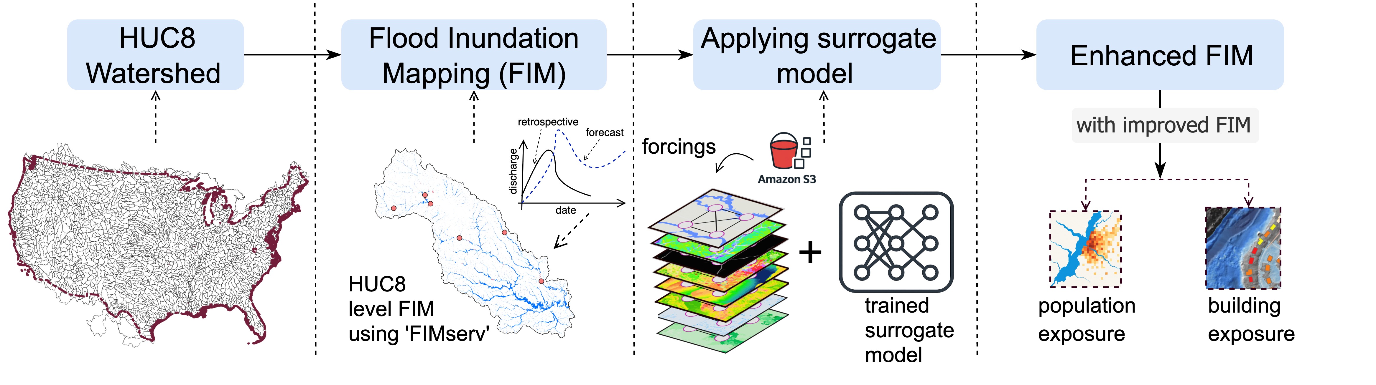
Making Flood Mapping 10,000× Faster with Deep Learning
A behind-the-scenes look at how we developed a CNN-based surrogate model that dramatically accelerates NOAA's operational flood inundation mapping — and what it means for real-time disaster response.
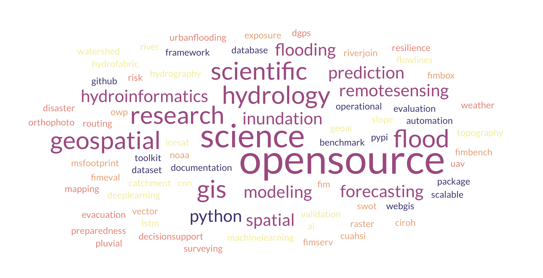
Why I Build Open-Source Geospatial Tools
From FIMserv to msfootprint — a personal reflection on open science, reproducibility, and what it means to make research tools that people outside academia can actually use for flood response and disaster preparedness.
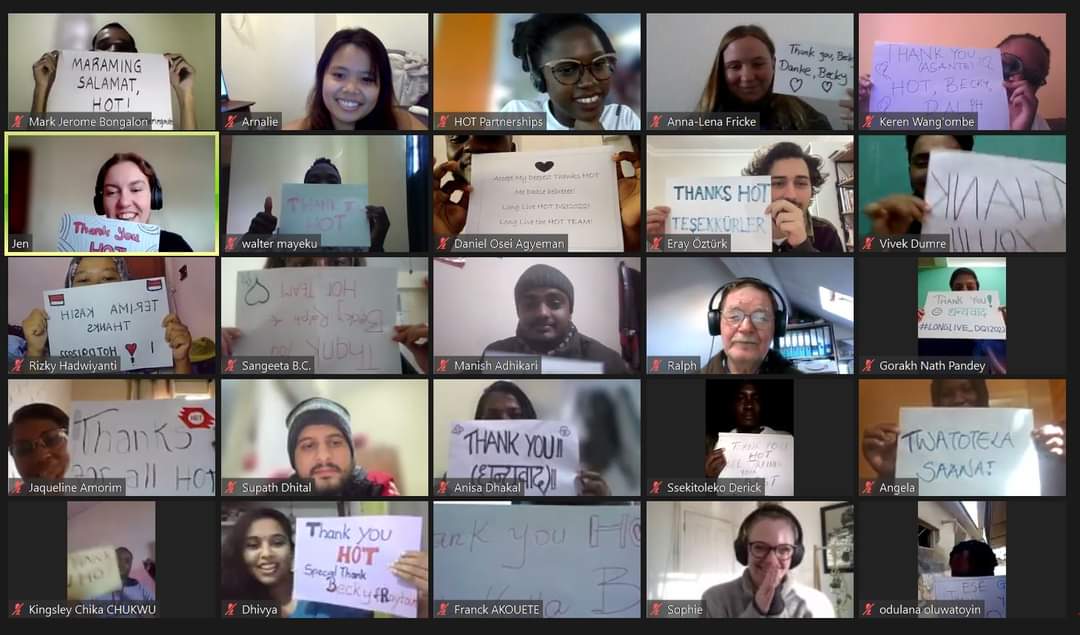
Journey to the HOT Data Quality Intern
How I started my journey of humanitarian mapping and became one of 28 selected global interns at the Humanitarian OpenStreetMap Team Data Quality Internship in 2022 — out of over 1,000 applicants.