About Me
I'm Supath Dhital, a graduate student in Deaprtment of Geography and the Environment at the University of Alabama, specializing in geospatial and water resources modeling with a concentration in surrogate flood inundation mapping. Currently, I work as a graduate researcher at the Surface Dynamics Modeling Lab, where I develop automated, Python-based geospatial frameworks that support operational research in surface water hydrology. With a strong foundation in GIS, remote sensing, and ESRI technologies, I focus on integrating spatial science, hydrology, and AI to build scalable tools for flood forecasting, inundation modeling, and decision-support systems. I'm passionate about solving real-world water challenges through automation, innovation, and interdisciplinary collaboration.
My area of knowledge
-

Geospatial Data Science and Analytics
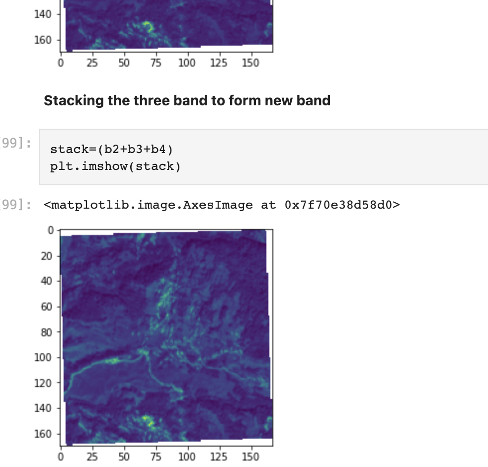
Developed and streamlined several spatial workflows using Python, ArcPy, GDAL, and rasterio. Built scalable geospatial data processing pipelines with AWS S3 and automated workflows for advanced spatial analysis techniques.
-
Machine Learning and AI for Water Resources
Developed deep learning-based surrogate models achieving 30%+ better accuracy and 1000X faster flood mapping processing speeds. Led deep learning project for flood forecasting using 20+ years of Danube and Sava River data, and implemented LSTM models for short-term weather forecasting in Nepal.
-

WebGIS Development and Cloud Computing
Developed WebGIS platforms using ArcGIS Online, Experience Builder, and Arcade for flood inundation visualization. Built Python-based operational workflows integrating Google Earth Engine API, AWS cloud storage, and deployed machine learning models through Flask web applications.
-

Database design and Automation
Designed and implemented PostgreSQL/PostGIS geodatabase schemas for complex spatial analysis and network routing applications. Developed automated geospatial workflows using ArcPy, ModelBuilder, and Python scripting to streamline repetitive data processing tasks across large-scale projects. Created standardized data validation frameworks and quality control procedures multiple geospatial initiatives. Built end-to-end automation pipelines integrating cloud storage, APIs, and spatial databases for scalable geospatial data management and analysis.
-

Cartography
Created thematic and web maps using UMap, Mapbox, and Overpass Turbo for spatial information dissemination across disaster-mapping projects. Designed interactive geospatial data visualization frameworks leveraging Folium, Leaflet, and geemap, with experience in cartographic design principles from formal coursework and practical application in flood inundation extent mapping.
-

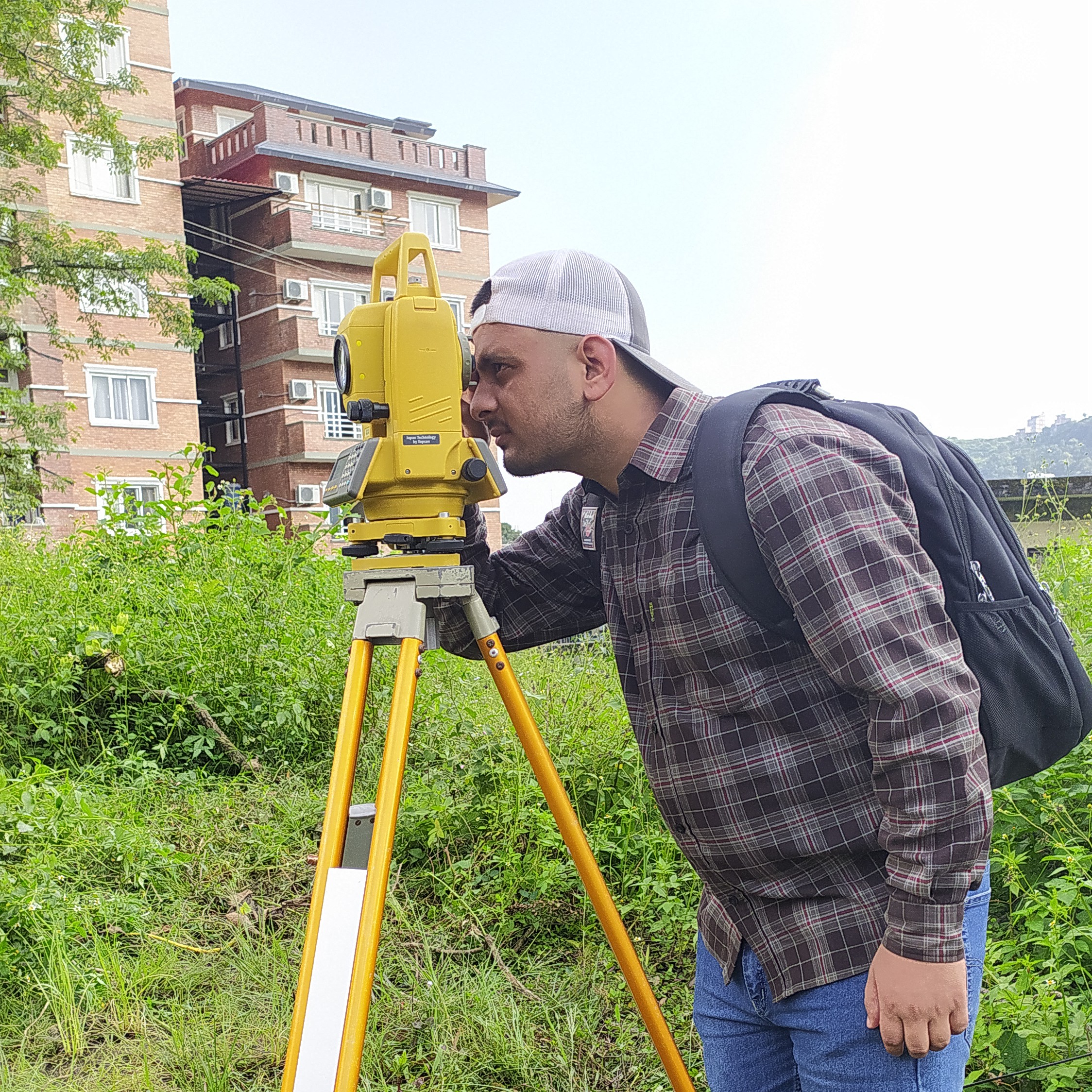
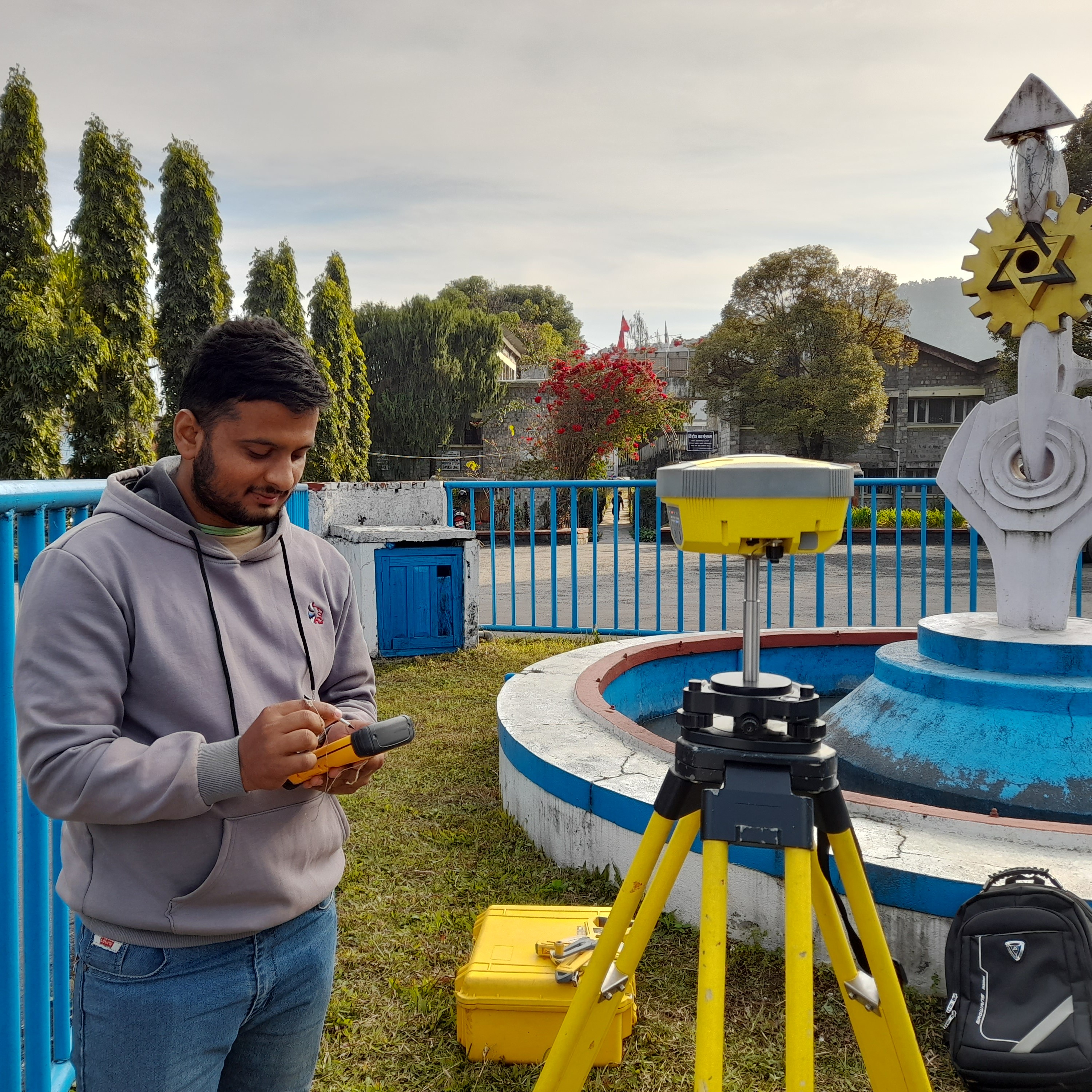
Field Surveying and Remote Sensing
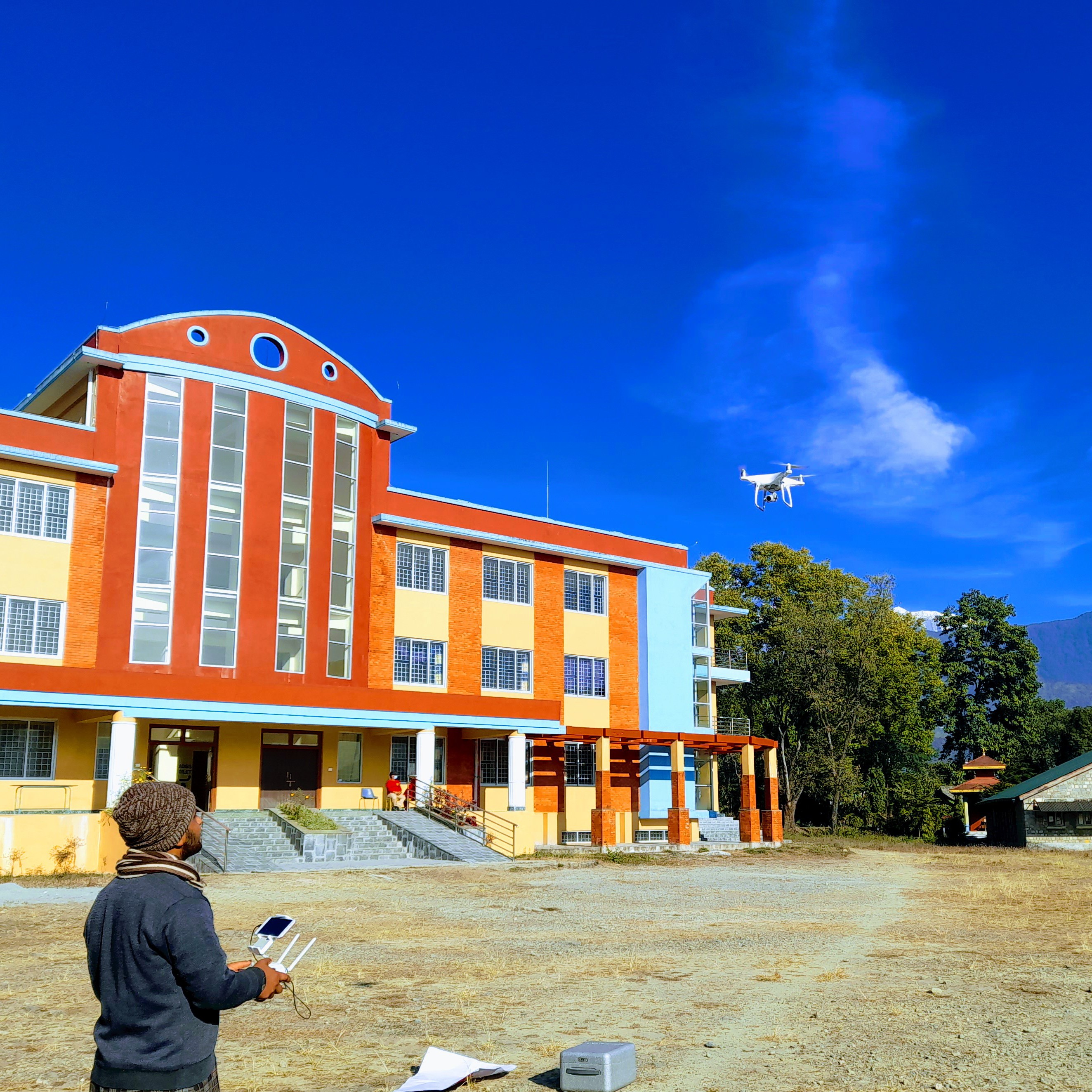
Executed topographic, hydropower, and bridge site surveys using DGPS and field instruments. Led UAV-based mapping projects with Pix4DMapper, processed LiDAR data in Global Mapper, and conducted field data collection via GPS, Survey123, and Field Maps for ground-truth validation.
-

Surveying
Experience on different kinds of surveying related to road, bridge, land and so many so strong knowledge on surveying and data handling.
-

Mapping
Since 2019, digitizing the geographic features using different tools to extract the crucial geo data and engaging so many sessions and engage in several project sharp my skills towards mapping.
Credentials
-
Landslides Risk Assessment
In this webinar, modeling the landslide prone area to automate the system for the early warning to the civilians and make them more aware about the disaster that may happen in near future was the main theme of that training.
-

Geoinformatics Summer School
It was an amazing experience to be part of this fruitful short course of 2022 International Geoinformatics Summer School organized by the State Key Laboratory of Information Engineering in Surveying, Mapping and Remote Sensing (LIESMARS), Wuhan University. The interactive and informative sessions about the different currently demanding and useful Geoinformatics tools, technology and its working field and how it will be implemented for the development of the nation from the well experienced professors from diverse field was the most engaging and beautiful part of this course. By the help of this summer school, I am more aware of how Geoinformatics students can contribute to sustainable development.
-
DGPS and LiDAR Training
Experience CSSGS' groundbreaking DGPS and LiDAR training, supported by UGC, to unlock geospatial technology's potential in precision mapping. Gain an edge in the field with comprehensive instruction, industry collaboration, and hands-on expertise. Elevate your skills and navigate the evolving geospatial landscape confidently.